")

. A geophysical survey requires understanding the nature or characteristics of the seabed
|
The term is generic and comprises various individual objectives including: |
||
 |
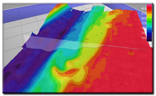
Acquisition of bathymetry | |
|
Identification and locating of significant seabed features, obstructions and hazards | |
|
Determining the geometry of the subsurface layers (thickness, dip) | |
| With the employment of different branches of sciences such as hydrographic survey, geophysics, electronics and computer engineering, we can perform different classes of geophysical surveys services as can be seen below: | ||
|
Pre-Engineering survey | |
|
Pre-Installation survey | |
|
Post lay survey | |
|
As-built survey | |
|
Geophysical site survey (Pre Drilling Hazard Survey) | |
|
Near Shore Survey for Purpose of Navigation | |
|
Route Survey For Damage point Finding Purposes (Pipeline or Cable) | |
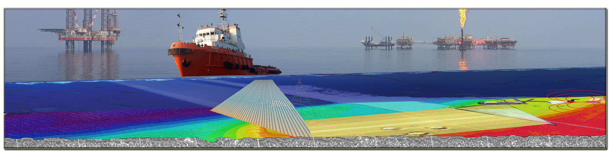
| Utilizing the above geophysical survey classes enables us to support oil and gas activities, coastal development, ports, harbors, dredging, subsea infrastructure, and various other government and commercial projects. We have had our own specialized DP1 hydrographic survey vessel, fully mobilized with modern geophysical survey equipment to undertake geophysical survey services. | ||
|
|
||